Phase: RAMI 2
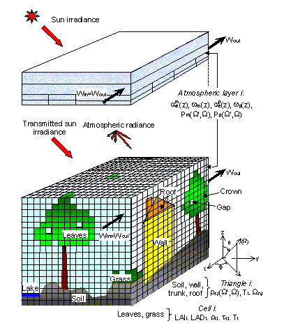
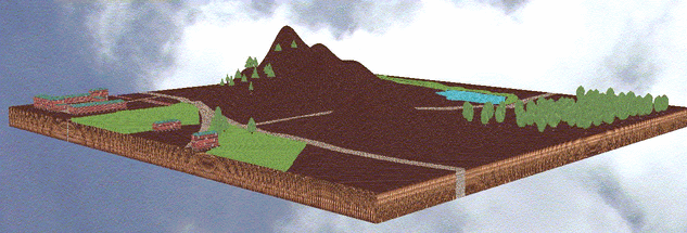
DART (Discrete Anisotropic Radiative Transfer) model simulates radiative transfer in complex 3-D scenes; i.e., urban and/or natural Earth landscape possibly with topography and atmosphere (Fig.1).
It uses an innovative multispectral approach (ray tracing, exact kernel, discrete ordinate techniques) over the whole optical domain.
Since its first release in 1996, its accuracy, range of applications and graphic user interface were greatly improved.
The present DART version has 2 functioning modes.
In mode (R), DART can use a Monte Carlo module that simulates very accurately multiple scattering, for reference purposes.
A Graphic User Interface (GUI) is used to input and display computer scene parameters and simulations.
The two major outputs of the DART model are:
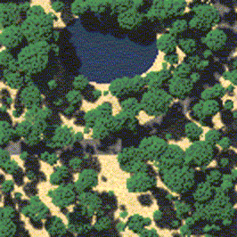
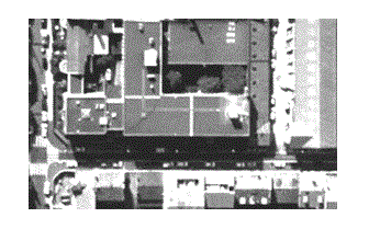
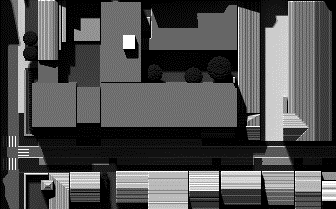
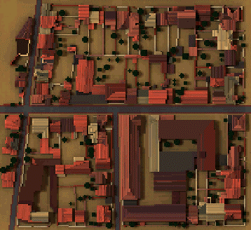
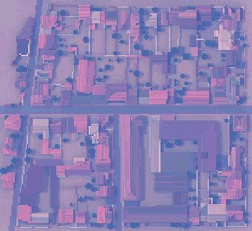
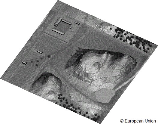
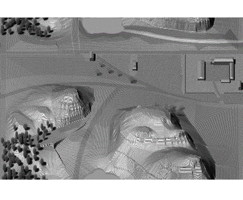
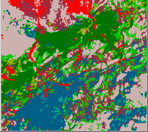
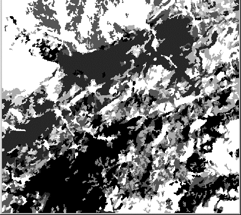
Remote sensing images for any urban (Fig. 3-4, 5-6) and natural (Fig. 7-8-9, 10-11, 12-13) landscape, atmosphere, wavelength, sun/view direction, altitude and spatial resolution (>0.1m), possibly with images directly related to leaf mesophyll, with/without sensor transfer function. Atmosphere and earth material parameters are specified by data bases.
3-D radiation budget.
DARTEB model uses it for simulating scene energy budget through the modelling of other energy mechanisms (photosynthesis, turbulence, etc.)
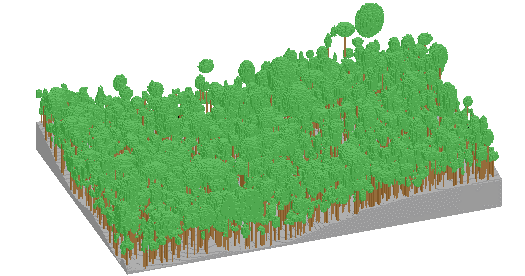
Any landscape is simulated as a rectangular matrix of parallelepipedic cells of any size (Fig.1). This is a building block for simulating infinite scenes: a ray that exits the scene re-enters the scene through the symmetric face of the scene. Infinite scenes are exactly repetitive in (x, y, z) or partially repetitive for ensuring a continuity in z as in infinite slopes. Any scene element is simulated with the help of cells that contain turbid medium (leaf, grass, twigs, air, etc.), plane opaque surfaces (triangles and parallelograms with parametric reflectance models: soil, road, tree trunk and branch, buildings walls and roofs, river) or a mixture of these. Any urban and natural landscape can be simulated with any set of houses, buildings, rivers, lakes, roads, agricultural plots, trees, etc. For example, trees can have various crowns, branch architectures, optical properties, leaf area index vertical and horizontal profiles, etc. Simulations can be performed with data bases such as Earth elements spectral parameters and physical and spectral vertical profiles of classical atmospheres (US Standard, etc.).
In addition, the operator can directly specify various physical quantities: atmosphere water vapour, aerosol optical depth, urban pollution, etc.
Radiation is tracked with an iterative procedure: iteration (i) scatters radiation that is intercepted at iteration (i − 1). In order to decrease computation times, the geometric origin of rays always belongs to a predefined grid of points that sample cells or are located on cell faces. Specular scattering / emissivity of vegetation and urban elements is accounted for.
Simulated scenes can be very simple (e.g., layered turbid media) or realistic (e.g., air pollution, several types of vegetation and buildings with specific geometric and optical properties, …). A specific procedure builds up LUTs for the inversion of satellite images. A Graphic User Interface (GUI) inputs computer scene parameters and displays landscape and DART simulations.
DART was recently patented (PCT/FR 02/01181). Presently, a professional DART release is being developed by Magellium Corp. and CNES (French Space Center) for windows, Linux and UNIX operating systems The aim is to get a reference model for remote sensing and energy budget studies and applications. An agreement with Paul Sabatier University (available on web site: http://www.cesbio.ups-tlse.fr) allows scientists to use it freely for scientific purposes.
Apart from the bibliography references (and minor layout changes), all text passages, links and images on this page were provided by the authors of the models themselves and thus are their sole responsability. For any questions regarding the model please refer directly to the authors.