Phase: RAMI 3
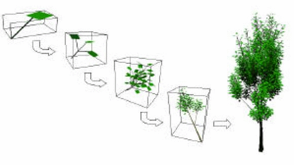
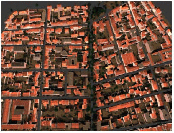
HYEMALIS, a software developed by NOVELTIS in collaboration with INRIA allows to simulate complex three-dimensional landscapes and remote sensing images in the solar spectrum. HYEMALIS is composed of several modules: radiative transfer computation with a radiosity algorithm, atmospheric interaction model coupling, airborne or space borne sensor simulation. This software can be used to lead various applications relating to urban landscape observation like helping in mission design, testing image processing algorithms, simulating directional reflectance databases.